June 1, 1804
[Clark]
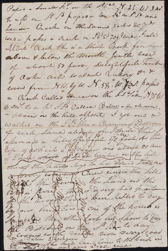
June 1st Friday 1804 Set out early, the Same Course S 48° W of Wednesday contd. 4 ms passed the Mouth of Little Miry on the Std & 〈Bear Creek on the Larbd. at 6 Ms this Creek is about 25 yds wide,〉 [A? &?] high rich Land on the Lb Side, S. 45° W to an Island [1] opposit a hill on the S. Sd. 6 Ms. this Isd is on the Lbd. passed the Mo. of Bear creek [2] 25 yds wide at 2 ms. & three Small Isd., Some Swift water and banks falling in, Wind a head from the West, S 39° W 3 ms. to the Pt. above the mouth of Osage River [3] Larb Side, Camped fell a number of Trees in the Point to take observation a fair after noon, Sit up untill 1 oClock to take Som observations &c. [4]
[Clark]
Set out early a fair morning Passed the mouth Bear Creek 25 yds. Wide at 6 Miles, Several Small Islands in the river the wind a head from the West the Current exceedingly rapid Came to on the point of the Osarges River on the Labd Side of Missouries this osages river Verry high, [NB: we] felled [5] all the Trees in the point to Make observations Sit up untill 12 oClock taken oservation this night
| S. 48° W | 4 | ms. to pt. Lbd. psd. Little Muddy on [Lbd.?] Sd. river 50 yds Wid |
| S 45° W | 6 | Ms. Isd psd. Bear Creek L. Sd. 20 yds. Wid |
| S. 39 W. | 3 | ms. to Pt. of Osge River |
| 13 |
ca. June 1, 1804, Field Notes, reverse of document 17
[Lewis]
On the point of land formed by the confluence of the Great Osage River and the Missouri made the following observations.
| Pole ★'s magnetic Azimuth by Circumfetr. | N. 7° W. |
| h | m | s. | ||
| Time by Chronometer at place of Obstn. | P.M. | 10 | 29 | 20 |
| Pole ★'s magnetic Azimuth by Circumfetr. | N. 6° 10' E. |
| h | m | s | ||
| Time by Chronometer, June 2ed | A. M. | 0 | 1 | 20 |
| Latitude of place of observation | 38° | 31' | 6.9" |
[Ordway]
Friday June 1st 1804. we Set out from Panther or Grind stone Creek at 5 oC a fair day. came 1½ miles passed Big Muddy Creek [7] on N. Side R. high Banks on S. Side came 2½ miles passed Bear Creek. arrived at the Osage River at 4 oC. P. M We Encamped & fell a nomber of Trees in the Point for the 〈purpose of〉 Captains Takeing observations, &.C—
[Floyd]
Friday June 1t 1804 Set out come one mile past one River on the N Side called Big mudy River comes in opset the Louer pint of willow Island the Land is of Good quallity as aney I ever saw but Low two miles to Bear Creek on the South Side High Hill on the Loer Side it is about 30—yardes in weth at the mouth of 〈water very Strong past Several Isld. Came 23 miles encamped at the mouth of the Gran Osage River the wind from the west the day Clear〉 the day Clear wind from the west water strong Came 12 miles past several Islds encamped at [3? 4?] oclk at the mouth of the Grand osoge River
[Gass]
Friday 1st June, 1804. Before daylight we embarked and proceeded on our voyage; passed Big Muddy creek on the north side; and on the opposite side saw high banks. Two and an half miles higher up, we passed Bear creek and at 4 o'clock P. M. arrived at the Osage river; where we remained during the evening and the next day. The Osage river is 197 [8] yards wide at its confluence with the Missouri, which, at this place, is 875 yards broad. The country on the south side is broken, but rich: and the land on the other of a most excellent quality. The two men who went by land with the horses, came to us here: they represented the land they had passed through as the best they had ever seen, and the timber good, consisting chiefly of oak, ash, hickory, and black walnut. [9] They had killed in their way five deer. The periogue left at the mouth of Gaskenade river, came up with the man who had been lost. Here our hunters went out and killed three deer. The Osage nation of Indians live about two hundred miles up this river. They are of a large size and well proportioned, and a very warlike people. Our arms and ammunition were all inspected here and found in good order.
[Whitehouse]
Friday 1st June 1804. a pleasant morning. we Set out eairly and proceeded on passed a River on the N. Side called big muddy, the bottoms low. passd. a creek called beaver creek [10] on the S.Side.
Friday June 1st We set off early this morning, the weather being pleasant, and passed a River on the North side called Big muddy; the bottom land laying low on the Mesouri, we passed a Creek called beaver creek, lying on the South side of the River, and encamp'd at the Mouth of the Grand Osage River

