Images & Maps
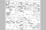
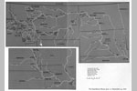
Note: These images are courtesy of the University of Nebraska Press. Permission to reproduce is required.
Note: These images are courtesy of the American Philosophical Society library. Permission to reproduce is required.
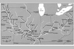
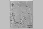
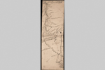
 Mississippi River and Tributaries in Present Minnesota, undated (winter 1804–5), Codex C, p. 155
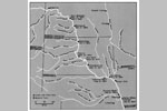
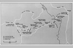
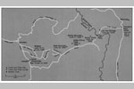
 Falls and Portage of the Missouri River, ca. July 4, 1805, Codex E, pp. 132–33
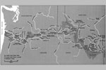
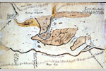 Great (Celilo) Falls of the Columbia River, Washington and Oregon, October 22–23, 1805, Codex H, p.1
 Long and Short Narrows (The Dalles) of the Columbia River, Washington and Oregon, October 22–28, 1805, Codex H, pp. 2–3
 Great Rapids (Cascades) of the Columbia River, Washington and Oregon, October 30–November 2, 1805, Codex H, p. 4
 Falls and Portage of the Missouri River, ca. July 4, 1805, Codex E, pp. 132–33
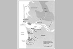
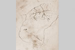 Point Adams, Oregon, ca. December 1, 1805, Codex Ia, p.7
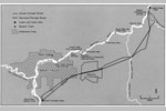
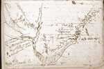 Route to the Whale Site, ca. January 6–10, 1806, Clark's First Draft
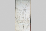 Confluence of Willamette and Columbia Rivers and Environs, April 3, 1806, Codex K, pp. 28–29
